
Directions
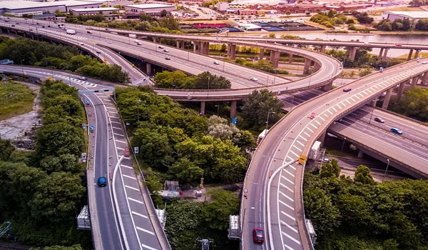
Finding Sattva City directions is very simple because the property sits straight on the main highway to the airport. The 50-acre gated community is located right off Bellary Road (NH 44) in Doddajala, North Bangalore. If you are driving up from Hebbal or Yelahanka, you just follow the wide, signal-free airport highway north. The main entrance sits on your left side, right before you reach the Sadahalli Toll Plaza. This makes it incredibly easy to find. It also means you can drive back down into central Bangalore without passing through the main toll gates, saving you time and money on your daily commutes.
Sattva City Doddajala is a 53 acres ultra luxury residential gated community. The project is large, open, and well designed for peaceful living. In this phase, more than 3460 luxury apartments are planned. The homes include Studio, 1, 2, 2.5, 3, 3.5, and 4 BHK apartments. These homes are designed for modern families who want space, comfort, and easy connectivity in North Bangalore.
Sattva City Doddajala is precisely placed, which makes it very easy to find on digital maps and GPS apps.
- Longitude: 13.1822208
- Latitude: 77.6415717
Site Boundaries
The project has clear and well planned boundaries, which help in smooth entry and exit.
- North: Proposed 31 meter wide road
- South: Natural Nala (canal)
- East: Adjacent to Survey Numbers 352/1, 354, and part of 353/1 of Amani Bellandur Khane village
- West: 40 meter wide Existing Hoskote–Anekal State Highway (SH 35)
This thoughtful layout supports easy movement of vehicles and people. The wide roads around the project reduce traffic issues and improve safety.
The project has strong road connectivity from all directions. Wide approach roads connect Sattva City Doddajala to NH 44 (New Airport Road) and SH 104. These roads give direct access to major areas like
- Marathahalli,
- Sarjapur,
- Bellandur.
Daily travel becomes simple, smooth, and time saving for residents.
The direction of any project shows how easy it is to reach the location. Sattva City Bangalore offers multiple travel options. People can use BMTC buses, Volvo buses, private cars, and nearby Metro services. These transport options help residents travel comfortably without depending on one single mode of transport. The strong public transport network makes the project suitable for families, working professionals, and senior citizens.
The location connects smoothly to major roads such as
- New Airport Road (NH 44),
- NH 648,
- SH 104,
- Bellary Road.
These roads help residents move easily across North Bangalore. Whether traveling by metro, car, or bus, reaching Sattva City Doddajala is simple from all parts of the city.
Distances to Major Infrastructure
- Doddajala Metro Station (Blue Line): 4.4 km
- Dodjala Railway Station: 1.0 km
- Kempegowda International Airport (BLR): 10.8 km via NH 44
- Outer Ring Road (ORR): 4.2 km
- New Airport Road: 10.8 km
Nearby Schools
- Delhi Public School - (12.1 km away)
- Akash School - (15.3 km away)
- Sterling English School - (14.3 km away)
- MVM School - (7.4 km away)
- Vidyashilpa Academy - (12.4 km away)
- Embassy Academy - (9 km away)
Nearby Hospitals
- Akash Hospital: 15.5 km
- Ramaiah Leena Hospital: 13.7 km
- New Manasa Hospital: 14.4 km
- Sri Shirdi Sai Hospital: 13.9 km
- Aster CMI Hospital: 29 km
- Nakshthra Hospital: 14.2 km
- NRV Hospital: 2.9 km
Nearby Shopping Malls
- DRV Plaza shopping centre is 14.4 km
- PVR Orion Uptown Mall shopping centre is 30.7 km
- Garuda shopping centre is 27.6 km
- Esteem shopping centre is 16.6 km
- Galleria shopping centre is 14.8 km
Nearby Tech Parks and Employment Hubs
- KIADB: 12.4 km
- Manyata Tech Park: 18.7 km
- Ecopolis: 7.6 km
- IFCI Financial City: 10.1 km
- Prestige Tech Cloud: 4.8 km
Sattva City Directions and Advantages
- Sattva City Doddajala is located in a prime area of North Bangalore, with planned infrastructure and reliable public facilities.
- The project has easy access to National Highways, State Highways, metro stations, and major roads that connect different parts of the city.
- The project offers smooth directions to important areas such as Hebbal, Yelahanka, Devanahalli, Manyata Tech Park, Marathahalli, and Bellandur through NH 44, SH 35, SH 104, and Bellary Road.
- Easy access to BMTC buses and the Blue Line metro helps residents travel comfortably without depending only on private vehicles.
- The short distance to the airport, railway station, and metro station makes Sattva City Bangalore ideal for frequent travelers, working professionals, and families.
With strong connectivity, growing infrastructure, and premium living spaces, the project offers both comfort and long term value.
With its well connected location, simple directions, and easy access to schools, hospitals, offices, and daily needs, Sattva City Doddajala stands as a smart residential and investment choice in North Bangalore.


 24/7 Support
 Free Site Visit
 Unmatched Price